Monday, September 28, 2015

Far North Queensland

For the past seven days, we have been camping at the Pinnacle Caravan Park in Wonga Beach.


Wonga Beach is located just over 20 km north of Mossman in Far North Queensland. We've enjoyed sitting and relaxing amidst these tropical surroundings after spending time in the dirt and dust.


The beach extends for many kilometres in both directions and displays the usual signs warning against swimming due to the potential presence of crocodiles. The Daintree River mouth is approximately 8 km north of the caravan park, so crocodiles are likely to be present.


We are in site four and can see the ocean through the coconut trees that line the beachfront. There is a large expanse of green grass in front of our van, with big shady trees under which we sit during the heat of the day. There are two swimming pools, one with a waterfall, and we have been spending time in these each day. Daytime temperatures have hovered around thirty degrees.


We photographed these rain trees on the northern outskirts of Mossman that were planted over a century ago. They were planted to provide shade for the teams of bullocks, mules, and horses used to cart goods. The lichen on the trees grows naturally.


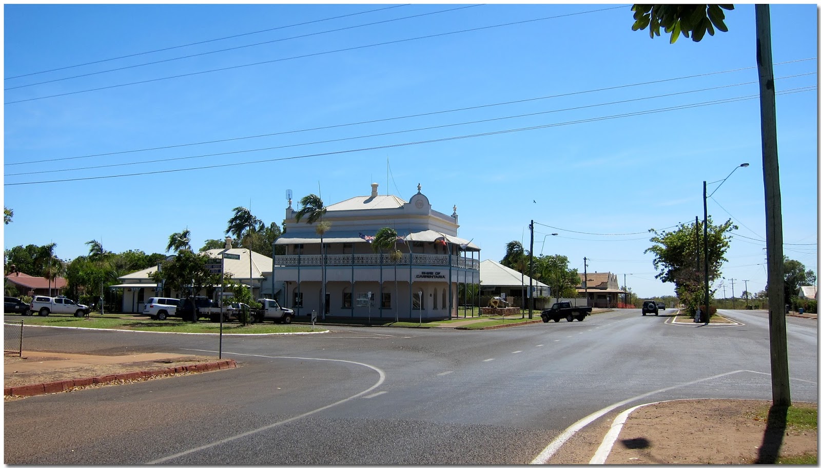
 One day, we visited the small village of Daintree. The only change here is that one side of the main street, which was completely destroyed by fire in 1995, has been rebuilt.


Even though the weather conditions were less than ideal, with rain overnight for the second time and low cloud and drizzle this morning, we decided to venture north across the Daintree River towards Cape Tribulation. 


Tomorrow is our last day at Wonga Beach, but we plan to head south to Port Douglas for their Sunday markets. Unfortunately, we were unable to film it. Still, several kilometres after leaving the park this morning, we encountered a mother pig and five piglets that ran out onto the highway from a sugar cane field. They stopped in the middle of the road before crossing into another cane field on the other side.
 
The return trip on the Daintree Ferry now costs $25.00, but we remember paying only $4.00 return in 1998 on our second trip to Cape York.


In the end, we didn't quite reach Cape Tribulation because of the weather conditions. We drove as far north as Myall Beach and stopped there for coffee before heading south.


The 'bouncing stones' near Thornton Beach are still present, but the signs have been removed, which I understand is due to it being an Aboriginal secret site. The stones bounced just like tennis balls. We stopped briefly to take a photo of tea that is grown in the Daintree. Tea has been cultivated here since 1978 and is grown without the use of pesticides.


By the time we reached Alexander Lookout, the weather had cleared up, and patches of blue sky appeared. The lookout offers views of Cape Kimberley, Snapper Island, and the Daintree River mouth.


From here, we continued south to visit the Daintree Ice Cream Company. They make tropical fruit ice cream from fruits they grow in their orchards. Flavours vary according to the season. We chose a cup each containing passionfruit, macadamia nut, wattle seed, and black sapote. The wattle seed had a cross between coffee and caramel, and the black sapote is known as the chocolate pudding fruit, and they were all very delicious. I can highly recommend their ice cream. 


Before the Sunday markets, we drove south to Port Douglas for lunch at a local eatery. With such stunning clear skies, we couldn't miss the opportunity to take some photos from the lookout over four mile beach.


St Mary's Church 

On Sunday morning, we drove south to Port Douglas for the markets held at Anzac Park. The potential threat of rain did not deter the many hundreds of people attending. As we were leaving and heading to the highway, a steady flow of vehicles continued to arrive at the markets.


On our way out of Port Douglas, we photographed these Magpie Geese beside the road that we usually associate with Kakadu National Park.


Monday, September 21, 2015

East towards the Queensland Coast

After spending two days at Normanton, we continued east towards Mount Surprise along the Gulf Development Road, which is part of the Savannah Way. We stopped in Croydon at the local park for morning tea and were surprised by the changes since our last visit.
 
They have erected sculptures representing the various groups that helped settle and establish the area.
 
In 1881, William Brown took up Croydon Downs Station, and pastoralism remains the primary industry in the Croydon Shire. The sector is symbolised by the stock whip, saddlebag, and hat.


This sculpture depicts the history of the Croydon goldfields. From 1887 to 1906, gold production here was only exceeded by Charters Towers in Queensland. The credit for the gold discovery has been given to W. C. Brown of Croydon Downs and two brothers named Aldridge, who were working as contractors on Browns station.


The Chinese moved to Croydon in the late 1800s. They were cooks, storekeepers, and tended their market gardens. The inscription under the hat reads 'Do not wait until you are thirsty to dig a well.'


Those who have served in all wars are represented on the honour roll, but unfortunately, the sun was in the wrong position to do justice to this photo.


The spear and boomerang symbolise the local Aboriginal people of the Croydon region. They belonged to the Tagalaka clan.


Continuing towards Georgetown, the road conditions changed over the next 147 km. The majority of the road was now just a single strip of bitumen, wide enough only for the 4wd and van. Whenever we encountered traffic- which was quite often- we would move off the bitumen and stop on the dirt. This gave them total access to the strip of bitumen, which for us, reduced the risk of breaking a windscreen from flying rocks.


Twenty kilometres west of Georgetown, we came across the Cumberland Chimney. It was erected in 1889 to carry smoke from the boilers used in crushing the gold from the rocks. The mine produced a total of 67,713 ounces.


It's now a free camp, but there was no one there when we passed through, probably due to the heat. The entire site is a massive, dusty mound, with the only appealing aspect being the waterhole, which features water lilies.


The waterhole was formed by damming a stream back when the crushing plant was here all those years ago. I'm surprised there is still water here when all around is nothing but dry, dusty ground as far as the eye can see.


The road conditions remained the same through to Mt. Surprise, alternating between single and dual-lane bitumen.


One thing that didn't change was the paddocks, which were covered only in dirt. We saw many dry dams with cattle just standing around. The majority of the cattle were thin and emaciated, and in some paddocks, there were dead cattle. It's a very grim and sad situation. Graziers are just locking up and leaving their properties, and we heard of two cases where two had committed suicide several days before we arrived in Mt Surprise.


We stayed at the Bedrock Caravan Park in Mt Surprise, and you guessed it—'Yabba Dabba Doo'. They are also a Savannah Guide Station and offer tours to the Undara Lava Tubes. It's a charming little park with a swimming pool, a full restaurant and cafĂ©, and they also cook wood-fired pizzas.


We stopped at Millstream Falls just west of Ravenshoe for our morning break. We were here many years ago, and I don't believe the falls were flowing as strongly this time. It may have something to do with the poor wet seasons.


There was a striking change in the country just after we passed Ravenshoe. On the western side, the land was brown and arid, but within minutes, the vegetation turned green and lush, with lovely rolling hills. We passed the Windy Hill Wind Farm, which generates enough power from its 20 turbines to supply 3,500 homes.


Our camp for the evening was just north of Tolga and about 20 km south of Mareeba. Rocky Creek Memorial Park is a large area with toilets. We backed in as far as possible towards the bush from the road to ensure a peaceful night's sleep.
 
There is a donation box to help with the upkeep of the toilet facilities and rubbish collection, and we were happy to donate $5, but many who arrived after us did not bother.
 
The council have provided a facility where you can leave your local shopping dockets so they can see the benefit of keeping the camping area going.


We left just after 8:30 and soon passed through Mareeba and onto Mount Molloy. From here to Mossman was all downhill with many twists and turns. Cape Kimberley in the distance and Snapper Island on the right side of the picture. The Daintree River flows into the sea just south of Cape Kimberley.


Once we passed through Mossman, it was only 24 km until we reached the Pinnacle Caravan Park at Wonga Beach.

Saturday, September 19, 2015

Towards Normanton

We made an early exit from Lake Argyle leaving at 6:45. We have decided to head east on the blacktop after hearing how bad the road conditions are on the Gulf Track. 

Our intention was to drive from Roper Bar to Borroloola and the through Hells Gate, Kingfisher Camp and into Lawn Hill National Park. We did this very same trip in 1996 towing a camper trailer and wanted to take the BT through but this time do it in style. 

Our plan now is to head towards the Queensland Coast then slowly make our way home to Sawtell. Today's drive of 456 km sees us camping 58 km west of Katherine. This free site is called The Vince Connolly Crossing and when we arrived there was one other group set up for the evening. Later on two more groups arrived. The site has rubbish bins and toilets and is several hundred metres from the road.


Both of us have been surprised by the lack of vans we have seen on the road today. There were only 2 vans in the park at Timber Creek and one camper trailer at the Victoria River Roadhouse. It seems the daily temperatures we have been experiencing which are in the high thirties have driven most people away. Bye the way today's maximum was 38.4 degrees. The vans interior temperature at 8:45 this evening was still 30.4 degrees.

There was very little noise during the evening with just a few semi trailers passing by. It was a leisurely start at 7:45 for the 58 km run east into Katherine. We filled up with fuel at the local BP service station who were accepting Coles and Wollies dockets for the 4 cpl discount. Very happy with diesel at $1.32 cpl. 

From here we drove south to Mataranka for our coffee break before continuing onto the Daly Waters Wayside Inn where we had lunch out in the rest area. We stopped very briefly at the Newcastle Waters rest area right beside the highway where two vans were already set up for the evening. 
Unfortunately not for us with the Stuart Highway about twenty metres form the rest stop. 

Wikicamps listed a disused gravel pit 2.8 km south of the rest area on the left hand side of the road as you head south. What a great spot to camp and it was possible to get as far away from the highway as you wanted with side roads heading off in all directions. We had the whole place to ourselves and with absolutely no traffic noise.


Tonight we cooked our black pepper and worcestershire sausages that we purchased from the Tender Spot Butchery in Kununurra. They were delicious and went well with our mashed potato peas and corn. The sun has disappeared for the evening and the vans temperature at 7:10 is still 30 degrees. Today we drove 442 kilometres.

Lovely evening's sleep with the temperature at 23.4 degrees at 6:30. Strange to wake and not see perfectly blue skies like we have experienced for the past two months. We left our site at 7:45 to the news that Malcolm Turnbull was the new Prime Minister.
 
We stopped for morning tea at the Three Ways before turning east onto the Barkly Highway, where we stopped 186 km later for lunch at the Barkly Homestead. From here, we continued to Avon Downs rest area for the evening. The rest area is opposite the police station and 70 km west of Camooweal,  just over the border in Queensland. Today, we travelled 625 km.


Just over an hour after leaving Avon Downs, we stopped in Camooweal to empty our toilet cassette and top up one of our non-potable tanks. It was 189 km to Mt Isa, where we shopped and refilled our fuel before travelling 53 km to camp again at Corella Dam. It was very busy when we visited in July, but now it was much easier to enjoy that water view with about twenty groups camping here.
 

We had our last camp meal tonight before we start staying mostly in caravan parks again. Tonight's meat was rack of lamb with the usual trimmings, including peas and mint sauce. The meat is from that amazing butcher in Kununurra.


We left Corella Dam after a very windy evening with strong southerly winds blowing all night that continued until we arrived in Normanton. Of course, we are not complaining because we were heading north, and it's always nice to have a tailwind to help with fuel economy. The road north from Cloncurry to the Burke and Wills Roadhouse and on to Normanton was a route we had never driven before. After the roadhouse, the condition of the road for the next 207 km varied between single lane and dual lane bitumen, and it became worse the further north we drove. 


There are two caravan parks in Normanton. When we were here in 2012, we stayed at the Normanton Tourist Park, which is in the town centre, so we decided to stay there again. However, this time the park looks tired and rundown. Its only saving grace is the swimming pool. 


The Albion Hotel was built in Croydon in the 1880s and relocated to Normanton in the early 1900s.


The renowned purple pub.